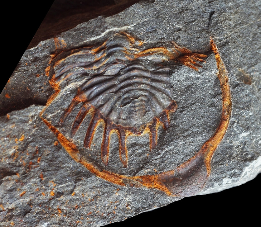
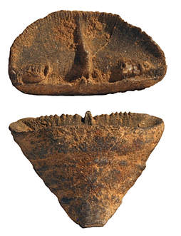
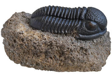
Trilobites have long been recognised as regular components of the Devonian macrofauna of the Ardennes although they were subjected to only few detailed studies during the 19th and 20th centuries. New fieldwork over the past two decades has led to a wealth of trilobite specimens many of which were collected under stratigraphic and geographic control. This trilobite material is the fundament of an extensive revision of Devonian trilobites from the Ardennes. Fieldwork is ongoing and exciting discoveries including species new to science are made (and described) every year.
|
|
Finding suitable trilobite localities in Belgium is achieved through a combination of preparation, keen eye and a considerable dose of luck. The geological map of Belgium is currently under revision. New maps are published online as they become available. These maps are key to the desktop research that, ideally, precedes prospection.
Compared to the situation in southern Morocco, Belgium is a densely populated area. This means that collecting must be done on a smaller scale. Quarries or ancient road or railway sections are often ideal because they encompass larger stratigraphic intervals that can be sampled. Sometimes agricultural fields are suitable for collecting although stratigraphic control is a challenge there. Strict application of codes of conduct during visits to these localities is key to avoid disturbance leading to increased legislation and its enforcement. One of the best known regional examples of this is undoubtedly the "Mur des douaniers" near the northern French village of Vireux-Molhain. This site was closed in 1991 after decades of intensive digging. |
Locality reports
It is our policy not to reveal details about trilobite localities in Belgium publicly on the Internet. The main reason for this is that we want to keep out plunderers that will ruin things for others. We have carefully selected localities suitable for more detailed reports, more of which will be shown here.
Locality F-032 "Mur des douaniers" | Vireux-Molhain | France
Locality F-032 "Mur des douaniers" | Vireux-Molhain | France
A little synopsis of the Devonian of Belgium
|
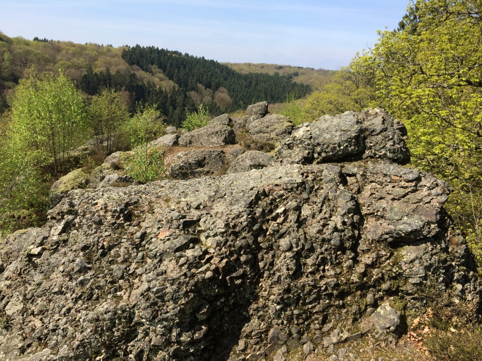
At the end of the Silurian the Ardennes (Belgium, northern France) were located on the southern passive margin of the Old Red Sandstone Continent (Laurussia), an assembly of ancient paleoterranes that also included parts of England, Germany and Poland, among other countries. In the South, separated from Laurussia by a water body called the Rheic Ocean, were Gondwana and related terranes (Morocco, Bohemia, etc.). The Rheic Ocean slowly narrowed in the course of the Devonian as Gondwana moved to the North. The Ardennes were part of an arid plateau south of an incompletely eroded mountain range which had formed during the Caledonian orogeny. At around the Silurian-Devonian boundary, a major marine transgression began to flood the southern part of the Ardennes. Conglomerates (rounded rocks which are cemented together, typically formed very near-shore) were laid down unconformably on the denuded Lower Palaeozoic basement which evidences the initial submersion of the land. The remains of some of these conglomerates can still be observed today, such as the “Poudingue de Fépin” which is exposed at the famous “Roche à l’Appel” near Muno, S-Belgium. The Early Devonian base conglomerates in the Ardennes are diachronous in that they become increasingly younger towards the northwest. This indicates that the sea slowly advanced in that direction. Apart from several regressive episodes a transgressive regime would persist from the Lochkovian until far into the Middle Devonian.
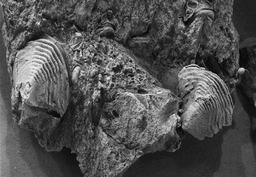
Throughout the Lower Devonian, the arid land mass of the northern lying Old Red Sandstone Continent controlled sedimentation in the so-called Rhenohercynian basin. Recurrent rainfall and temporary inundations caused by storms enabled a well-developed fluvial system with flash floods capable of transporting massive amounts of detritus to the sea. As a result, Early Devonian sedimentary rocks in the Ardennes may measure up to 9 kilometres in thickness. Along with the northwest directed transgression, tidal to shallow marine environments with a modest macrofauna including fish made way for full marine shales intercalated by carbonates. The open marine habitats (e.g. the Mondrepuis Formation) can be highly fossiliferous, comprising numerous bivalves, brachiopods, ostracods, tentaculites, bryozoans, crinoids, and trilobites. The transgression that had set in during the upper Emsian continued in the early Middle Devonian. In the Eifelian a mixed siliciclastic-carbonate ramp settled in the Ardennes. Near-shore environments were home to temporary deltaic swamps that moved along with the continuously changing coast lines. Further south (basin inwards), the main lithostratigraphic unit during this time was the Jemelle Formation which slowly transformed from early Eifelian terrigenous shales and siliciclasts to late Eifelian shales alternated by calcareous nodules. A biostrome (Couvin Formation) developed at the base of the Jemelle Formation in the Couvin area. Outside this area the biostrome is replaced by shales and siltstones of the Jemelle Formation, e.g. in Vireux-Molhain (classic “Mur des douaniers” trilobite locality) and Jemelle (stratotype of the Jemelle Formation). The upper part of the Couvin Formation has been shown to have a larger paleogeographic distribution and is presumably diachronic. It is replaced higher in the Jemelle Formation by carbonate build-ups in the Wellin area. The diachronous Hanonet Formation signified the transformation of the Eifelian homoclinal ramp into an extensive carbonate platform which developed in the Trois-Fontaines Formation and which would subsequently dominate the Givetian. The development of the Givetian reef complex could be sustained because the land mass to the north had been flattened by extensive erosion, greatly reducing its control over sedimentation in the basin. Rivers no longer had the potency to transport large amounts of detritus to the sea. The carbonate platform itself was comprised of a wide complex of changing milieus. Two successive barrier reefs comparable to present day examples such as the Great Barrier Reef in Australia presumably developed, which protected the lagoons from storms. The Givetian is characterised in the Ardennes by two transgressive pulses, respectively in the Lower and Upper Givetian. The fauna comprises mainly corals, stromatoporoids and brachiopods. Finally, an increase in faunal diversification in the upper part of the Fromelennes Formation signified the opening up of the Givetian platform which was subsequently “drowned” by the basal Frasnian transgression. The Frasnian started with a transgressive shale unit known as the Nismes Formation followed by the development of a 5000 km2 carbonate platform with environments ranging from lagoons to outer ramp with carbonate mounds. In the Couvin area, the Moulin-Liénaux and Grands Breux formations each represent a transgressive-regressive cycle. Large mounds (Arche and Lion members) developed that have been interpreted as atolls. The mounds were terminated by regressions and subsequently buried by shales (Ermitage and Boussu-en-Fagne members). The deposition of dark shales (“Schistes de Matagne”) at the end of the Frasnian is linked to anoxia caused by the Kellwasser Event. The downfall of Frasnian trilobites in Belgium was recently subjected to a new study which suggested distinct extinction patterns for the reefal and lateral facies. However, no evidence could be found for a direct impact of either Kellwasser level here. Lower Famennian shales and siltstones of the Famenne Group point to an open marine environment whereas the overlying Condroz Group attested to an important extension of deltaic complexes. At the summit of the Famennian a transgression led to marine deposits (Etroeungt Limestone). Famennian trilobites in the Ardennes are still poorly investigated. [Text adopted from van Viersen (2015) with modifications.] |
|
